FEMA Elevation Requirements for Galveston & Gulf Coast Homes
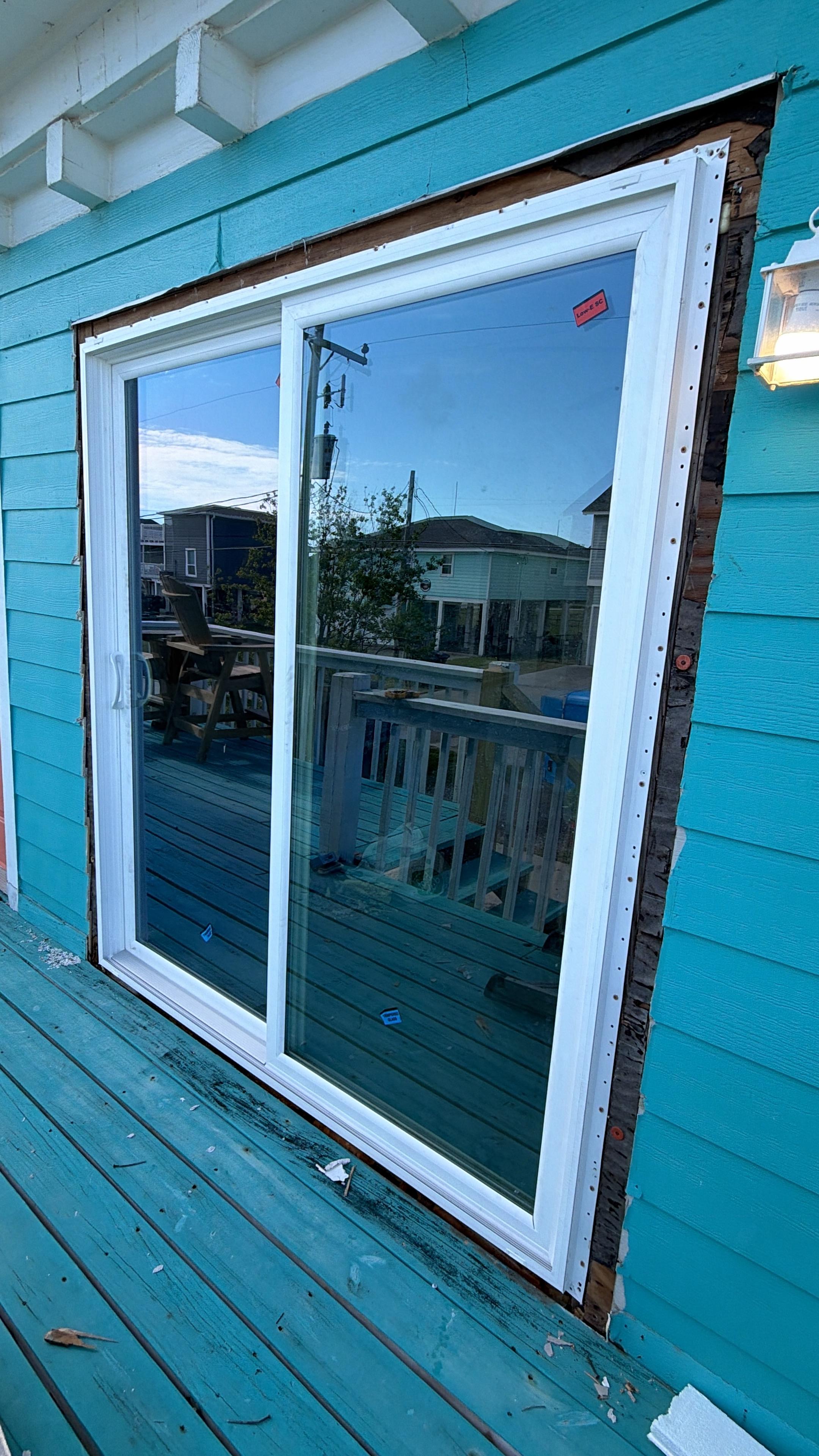
With the 2026 hurricane season well underway, understanding FEMA elevation requirements remains essential for Galveston County and Texas Gulf Coast homeowners. Local officials continue to emphasize the importance of storm preparedness and resilience, especially as coastal communities focus on reducing flood risk and protecting property values. Knowing your Base Flood Elevation (BFE) is critical before planning any renovation, rebuilding, or sale—especially if your property is in a FEMA Special Flood Hazard Area (SFHA), which covers much of Galveston Island and the surrounding coastal region. Failing to meet elevation standards can lead to higher flood insurance premiums, permit delays, and increased vulnerability to storm damage.
TerraFirm Leveling supports homeowners throughout Galveston and the Gulf Coast in navigating elevation compliance, from interpreting your Flood Insurance Rate Map to obtaining a post-lift Elevation Certificate. As weather patterns remain unpredictable and hurricane readiness is a top priority in 2026, staying compliant is essential for protecting your investment and peace of mind.
What Is Base Flood Elevation (BFE)?
Base Flood Elevation is the calculated elevation to which floodwater is expected to rise during the 1% annual chance flood event—commonly called the “100-year flood.” This value is published on FEMA Flood Insurance Rate Maps (FIRMs) in feet above the North American Vertical Datum of 1988 (NAVD88).
In Galveston, BFE values typically range from +8 to +14 feet NAVD88, depending on your specific location and flood zone:
- Zone VE — Coastal high-hazard areas subject to wave action. BFE includes a wave crest component. Freeboard requirements (building above BFE) are especially important here.
- Zone AE — Standard high-hazard zones with a defined BFE. This covers much of Galveston Island’s developed areas.
- Zone AO — Shallow flooding zones with a depth designation rather than an elevation (common in low-lying inland areas).
The current effective FIRMs for Galveston County were updated in 2012 following post-Hurricane Ike flood studies. Many homes built or significantly renovated before 2012 may now be non-compliant with current maps and at higher risk as weather patterns continue to shift.
Substantial Damage and Substantial Improvement
Two key triggers in Galveston’s Floodplain Management Ordinance can require you to bring your home into BFE compliance:
Substantial Damage
If your home is damaged—by a hurricane, fire, flood, or any cause—and the cost to repair exceeds 50% of the pre-damage market value of the structure (not including land), the home must be brought into full BFE compliance before repairs can proceed. This rule applies to cumulative damage over a 1-year period in some jurisdictions.
After Hurricane Ike, thousands of Galveston homes were declared “substantially damaged.” Homeowners who attempted to repair without elevating faced denial of building permits and loss of federal disaster assistance. With the 2026 hurricane season active and local officials urging preparedness, it’s crucial to understand these requirements before starting repairs or storm recovery.
Substantial Improvement
Similarly, if you plan any renovation or addition and the total cost exceeds 50% of the current market value of the structure, your entire home must be elevated to current BFE standards as a condition of the building permit. This rule can catch homeowners off guard during otherwise routine remodeling projects.
Understanding these thresholds is essential before beginning any major home project on the Gulf Coast, especially with continued focus on storm resilience and disaster readiness in 2026.
Reading Your Flood Insurance Rate Map
You can determine your property’s flood zone and BFE using FEMA’s free Flood Map Service Center at msc.fema.gov. Enter your address to see the current effective FIRM panel for your location.
Key things to note on your FIRM:
- Flood zone designation (VE, AE, AO, X, etc.)
- BFE value shown as a contour line in feet NAVD88
- FIRM panel number and effective date
- Whether your property is in the floodway (if so, additional restrictions apply)
If you’re in Galveston County and your property is shown in Zone AE or VE, obtaining a current Elevation Certificate from a licensed land surveyor is your next step. The Elevation Certificate documents your structure’s lowest floor elevation and allows your insurance agent to accurately rate your NFIP policy.
The Elevation Certificate
An Elevation Certificate (FEMA Form FF-206-FY-22-152) is the official document that records the elevation of your building relative to BFE. It is completed by a licensed land surveyor, architect, or engineer. You will need an Elevation Certificate to:
- Accurately rate an NFIP flood insurance policy
- Demonstrate compliance with local floodplain regulations
- Apply for Letters of Map Amendment (LOMA) or Letters of Map Revision (LOMR-F) if your home was incorrectly mapped
- Sell your home (buyers and lenders often require it for flood-zone properties)
If your Elevation Certificate shows your lowest floor below the community’s required BFE, you are almost certainly paying significantly higher flood insurance premiums than necessary. Elevating your home will reduce those premiums on a sliding scale based on how many feet above BFE your new lowest floor reaches.
Freeboard: Building Higher Than BFE
Many local ordinances and lenders require or incentivize building above BFE—a concept known as freeboard. The City of Galveston’s floodplain regulations require residential structures in Zone AE to be constructed at a minimum of 1 foot above BFE. Building to 2 or 3 feet above BFE is strongly recommended by engineers and flood insurance specialists because:
- FEMA’s risk rating methodology (Risk Rating 2.0) prices insurance based on actual flood risk, including events beyond the 1% annual chance
- Freeboard provides a buffer against inaccuracies in flood modeling
- Climate projections indicate sea level rise of 0.5 to 2 feet on the Texas Gulf Coast by 2050 (NOAA 2022 Sea Level Rise Technical Report)
- Lenders offering preferred-rate insurance products often require 1–3 feet of freeboard for favorable terms
When TerraFirm Leveling designs an elevation lift project, we always discuss freeboard options with the homeowner and structural engineer, helping you find the elevation height that balances upfront cost against long-term protection and insurance savings.
Freeboard and Insurance Savings: A Practical Example
Consider a Galveston homeowner whose current lowest floor is at +7.5 feet NAVD88 in a Zone AE area with a BFE of +11.0 feet NAVD88. The home is currently 3.5 feet below BFE. Under FEMA Risk Rating 2.0, this could produce an annual NFIP premium of $8,000–$15,000 or more, depending on the home’s replacement cost and other risk factors.
If the same home is elevated to +12.0 feet NAVD88 (1 foot above BFE), the annual premium might drop to $1,500–$3,000. Elevated to +14.0 feet NAVD88 (3 feet above BFE), the premium could fall below $1,000/year in many cases.
The cost of the lift project might be $50,000–$80,000. At $10,000 in annual premium savings, the project pays for itself in 5 to 8 years—and continues delivering savings for the life of the home.
How TerraFirm Leveling Manages FEMA Compliance
Our elevation projects include full regulatory compliance support:
- Flood zone and BFE verification — We review your current FIRM designation and confirm target elevation with the local floodplain administrator
- Pre-construction survey — A licensed land surveyor documents existing conditions
- Engineering design — A licensed structural engineer prepares drawings showing the new foundation design and confirmed elevation
- Permit application — We submit for building permits and floodplain development permits with the City of Galveston or applicable county jurisdiction
- Construction and elevation lift — We execute the lift, install new foundation systems, and reconnect utilities
- Post-construction Elevation Certificate — A licensed surveyor documents the finished lowest floor elevation
- City final inspection — We coordinate and pass the final inspection, ensuring your Certificate of Occupancy is updated
Frequently Asked Questions
How do I find out my property’s current BFE?
Visit FEMA’s Flood Map Service Center at msc.fema.gov and enter your address. You can also contact TerraFirm Leveling—we’ll review your flood zone and BFE at no charge during your free consultation.
What if I disagree with my flood zone designation?
If your property has been incorrectly included in a high-risk flood zone—for example, because a fill operation raised your land above BFE—you may be eligible for a Letter of Map Amendment (LOMA) or Letter of Map Revision Based on Fill (LOMR-F). A licensed surveyor must document your site’s elevation. TerraFirm Leveling can refer you to qualified surveyors throughout Galveston County.
Do elevation requirements apply to manufactured homes?
Yes. FEMA and local ordinances require manufactured homes in SFHAs to be elevated on permanent foundations with the lowest floor at or above BFE. TerraFirm Leveling works with manufactured home owners on compliant foundation solutions.
Does lifting my home affect my homeowner’s insurance?
In addition to flood insurance savings, elevating your home can reduce your windstorm insurance premiums through TWIA (Texas Windstorm Insurance Association), which covers coastal properties in Galveston and other Tier 1 and Tier 2 counties. Structural improvements that increase wind resistance often qualify for TWIA credits. Consult your insurance agent for specifics applicable to your property.